Pegswood Fire Station and the A197
Introduction
The photograph on this page of Pegswood Fire Station and the A197 by Oliver Dixon as part of the Geograph project.
The Geograph project started in 2005 with the aim of publishing, organising and preserving representative images for every square kilometre of Great Britain, Ireland and the Isle of Man.

There are currently over 7.5m images from over 14,400 individuals and you can help contribute to the project by visiting https://www.geograph.org.uk
Pegswood Fire Station and the A197
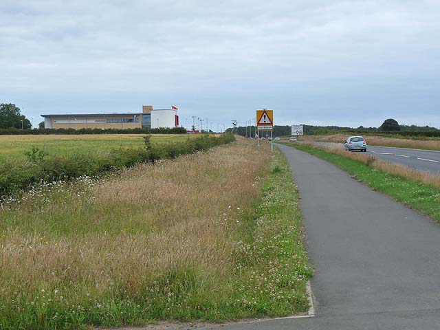
Image: © Oliver Dixon Taken: 13 Jul 2011
A cycle track has been installed alongside the busy A197 all the way from Morpeth to Ashington, designated National Cycle Route 155. Here it is seen approaching the Pegswood Fire Station and roundabout at the eastern end of the Pegswood By-pass. In the distance to the left of the sign, it is possible to make out the "Fire" sculpture, locally known as "Robin of Pegswood".
Images are licensed for reuse under creativecommons.org/licenses/by-sa/2.0
Image Location
Latitude
55.175784
Longitude
-1.641831