Valley at Thorn
Introduction
The photograph on this page of Valley at Thorn by Derek Harper as part of the Geograph project.
The Geograph project started in 2005 with the aim of publishing, organising and preserving representative images for every square kilometre of Great Britain, Ireland and the Isle of Man.

There are currently over 7.5m images from over 14,400 individuals and you can help contribute to the project by visiting https://www.geograph.org.uk
Valley at Thorn
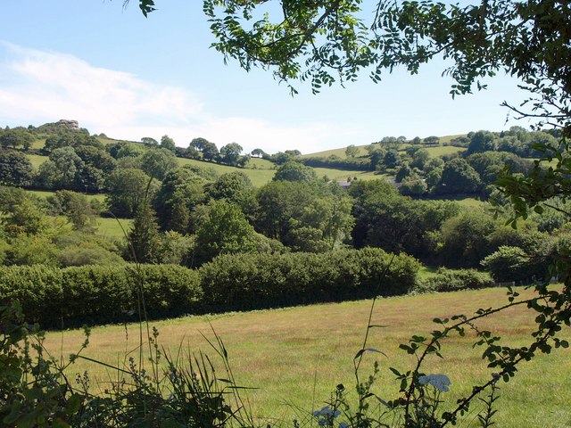
Image: © Derek Harper Taken: 3 Jul 2011
Like Image, a view from Bridford Footpath 32 across the valley north of Heltor Rock, which is at top left. The farm at Thorn (see Image) is right if centre, partly hidden by trees.
Images are licensed for reuse under creativecommons.org/licenses/by-sa/2.0
Image Location
Latitude
50.673774
Longitude
-3.705284