Greensand Way East of Dungate's Farm
Introduction
The photograph on this page of Greensand Way East of Dungate's Farm by Colin Smith as part of the Geograph project.
The Geograph project started in 2005 with the aim of publishing, organising and preserving representative images for every square kilometre of Great Britain, Ireland and the Isle of Man.

There are currently over 7.5m images from over 14,400 individuals and you can help contribute to the project by visiting https://www.geograph.org.uk
Greensand Way East of Dungate's Farm
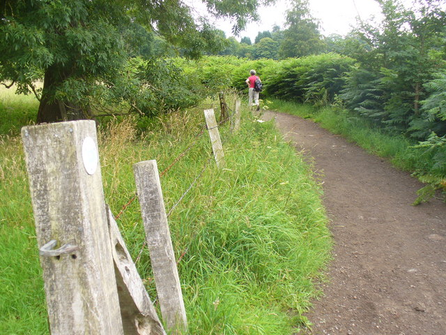
Image: © Colin Smith Taken: 10 Jul 2011
Sandy surfaced long distance path parallelling the chalky North Downs to the north. http://www.ldwa.org.uk/ldp/members/show_path.php?path_name=Greensand+Way
Images are licensed for reuse under creativecommons.org/licenses/by-sa/2.0
Image Location
Latitude
51.235502
Longitude
-0.240691