Heol Pentre'r Felin, Llantwit Major
Introduction
The photograph on this page of Heol Pentre'r Felin, Llantwit Major by Jaggery as part of the Geograph project.
The Geograph project started in 2005 with the aim of publishing, organising and preserving representative images for every square kilometre of Great Britain, Ireland and the Isle of Man.

There are currently over 7.5m images from over 14,400 individuals and you can help contribute to the project by visiting https://www.geograph.org.uk
Heol Pentre'r Felin, Llantwit Major
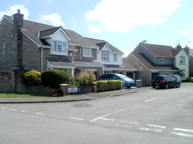
Image: © Jaggery Taken: 9 Jul 2011
Viewed from Frampton Lane. Heol Pentre'r Felin is a cul-de-sac that branches into two arms out of shot ahead.
Images are licensed for reuse under creativecommons.org/licenses/by-sa/2.0
Image Location
Latitude
51.413423
Longitude
-3.475265