Pylon and power lines near Mary Peters Track, Belfast (1)
Introduction
The photograph on this page of Pylon and power lines near Mary Peters Track, Belfast (1) by Albert Bridge as part of the Geograph project.
The Geograph project started in 2005 with the aim of publishing, organising and preserving representative images for every square kilometre of Great Britain, Ireland and the Isle of Man.

There are currently over 7.5m images from over 14,400 individuals and you can help contribute to the project by visiting https://www.geograph.org.uk
Pylon and power lines near Mary Peters Track, Belfast (1)
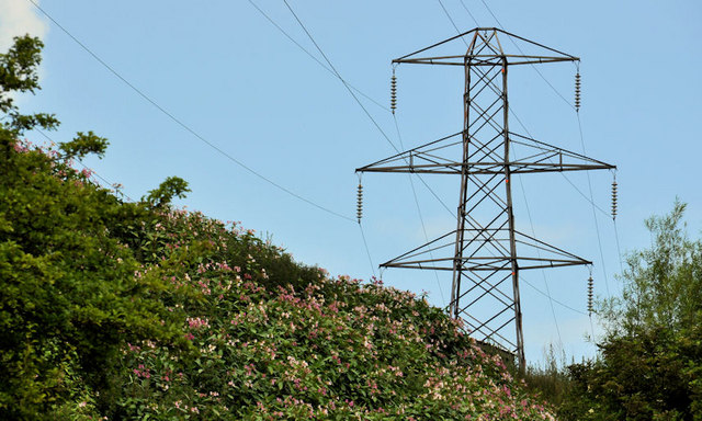
Image: © Albert Bridge Taken: 6 Jul 2011
One of three pylons carrying the power lines to the south/south west of the Mary Peters Track. Part of the grid from here Image(although the OS map is a bit vague (due to scale) about whether there is junction, between two lines, near Black’s Road, Dunmurry). Image shows the next pylon to the south.
Images are licensed for reuse under creativecommons.org/licenses/by-sa/2.0
Image Location
Latitude
54.547615
Longitude
-5.971385