Cowgate
Introduction
The photograph on this page of Cowgate by Anne Burgess as part of the Geograph project.
The Geograph project started in 2005 with the aim of publishing, organising and preserving representative images for every square kilometre of Great Britain, Ireland and the Isle of Man.

There are currently over 7.5m images from over 14,400 individuals and you can help contribute to the project by visiting https://www.geograph.org.uk
Cowgate
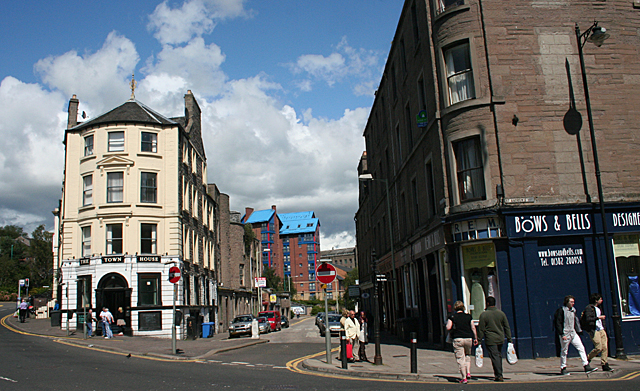
Image: © Anne Burgess Taken: 30 Jun 2011
King Street is on the left, the Cowgate in the centre and St Andrew's Street to the right.
Images are licensed for reuse under creativecommons.org/licenses/by-sa/2.0
Image Location
Latitude
56.464124
Longitude
-2.967375