Underdown Moor
Introduction
The photograph on this page of Underdown Moor by Derek Harper as part of the Geograph project.
The Geograph project started in 2005 with the aim of publishing, organising and preserving representative images for every square kilometre of Great Britain, Ireland and the Isle of Man.

There are currently over 7.5m images from over 14,400 individuals and you can help contribute to the project by visiting https://www.geograph.org.uk
Underdown Moor
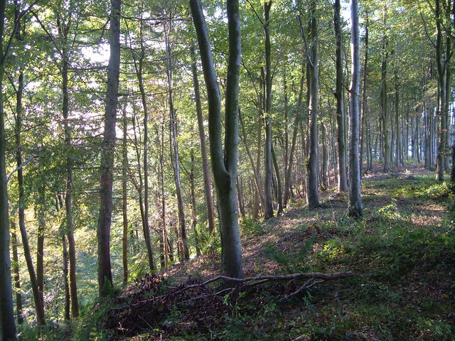
Image: © Derek Harper Taken: 21 Sep 2006
From a footpath that runs along the edge of the Yarty valley, just south of where it crosses the A30. A very clear break of slope in these woods, where the Yarty has cut into the Blackdown plateau.
Images are licensed for reuse under creativecommons.org/licenses/by-sa/2.0
Image Location
Latitude
50.862804
Longitude
-3.09078