Colonised cornice
Introduction
The photograph on this page of Colonised cornice by Richard Webb as part of the Geograph project.
The Geograph project started in 2005 with the aim of publishing, organising and preserving representative images for every square kilometre of Great Britain, Ireland and the Isle of Man.

There are currently over 7.5m images from over 14,400 individuals and you can help contribute to the project by visiting https://www.geograph.org.uk
Colonised cornice
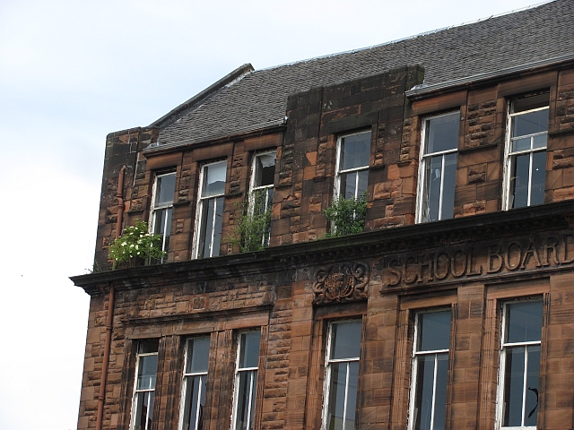
Image: © Richard Webb Taken: 16 Jun 2011
Elder and buddleia are getting established on the man made crag that is the former Golfhill Primary School.
Images are licensed for reuse under creativecommons.org/licenses/by-sa/2.0
Image Location
Latitude
55.862062
Longitude
-4.226198