Canterbury Green Plantation
Introduction
The photograph on this page of Canterbury Green Plantation by Richard Webb as part of the Geograph project.
The Geograph project started in 2005 with the aim of publishing, organising and preserving representative images for every square kilometre of Great Britain, Ireland and the Isle of Man.

There are currently over 7.5m images from over 14,400 individuals and you can help contribute to the project by visiting https://www.geograph.org.uk
Canterbury Green Plantation
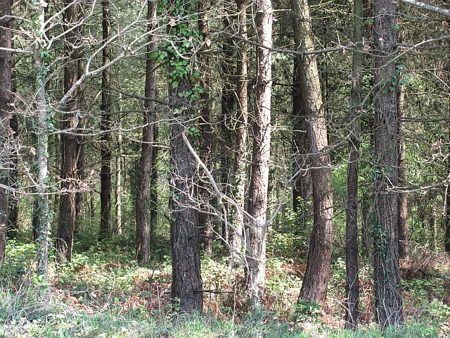
Image: © Richard Webb Taken: 19 Apr 2011
Coniferous wood with the curse of Devon's forests - a bramble understory. OK that is a narrow viewpoint, the brambles support a lot of wildlife.
Images are licensed for reuse under creativecommons.org/licenses/by-sa/2.0
Image Location
Latitude
50.695342
Longitude
-3.34982