Untended graveyard
Introduction
The photograph on this page of Untended graveyard by Phil and Juliette Platt as part of the Geograph project.
The Geograph project started in 2005 with the aim of publishing, organising and preserving representative images for every square kilometre of Great Britain, Ireland and the Isle of Man.

There are currently over 7.5m images from over 14,400 individuals and you can help contribute to the project by visiting https://www.geograph.org.uk
Untended graveyard
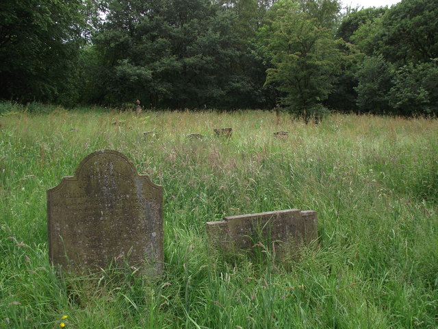
Image: © Phil and Juliette Platt Taken: 17 Jun 2011
Close to the bank of the River Douglas a lower section of the Holy Trinity Church graveyard in Horwich seems sadly neglected. Most of the gravestones I saw in this section commemorated internments in the 1920s.
Images are licensed for reuse under creativecommons.org/licenses/by-sa/2.0
Image Location
Latitude
53.599754
Longitude
-2.538506