Part of Bala Lake and the Arenigs beyond
Introduction
The photograph on this page of Part of Bala Lake and the Arenigs beyond by Jeremy Bolwell as part of the Geograph project.
The Geograph project started in 2005 with the aim of publishing, organising and preserving representative images for every square kilometre of Great Britain, Ireland and the Isle of Man.

There are currently over 7.5m images from over 14,400 individuals and you can help contribute to the project by visiting https://www.geograph.org.uk
Part of Bala Lake and the Arenigs beyond
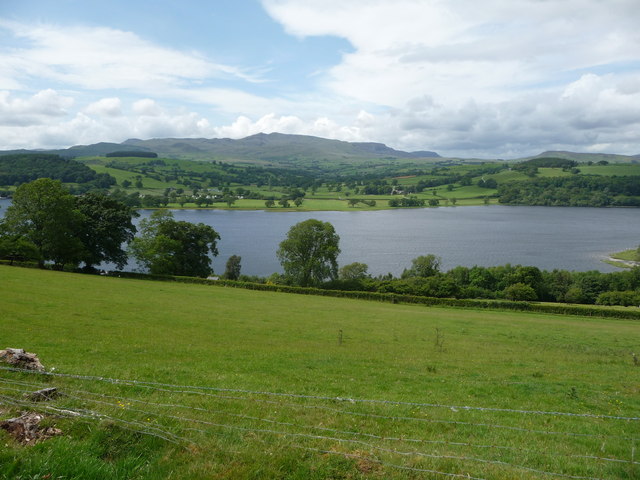
Image: © Jeremy Bolwell Taken: 16 Jun 2011
The slopes here look down onto the lake's waters and the eye is naturally drawn up to the high mountains on the far side.
Images are licensed for reuse under creativecommons.org/licenses/by-sa/2.0
Image Location
Latitude
52.871734
Longitude
-3.63125