Upton, Roman Road
Introduction
The photograph on this page of Upton, Roman Road by Mike Faherty as part of the Geograph project.
The Geograph project started in 2005 with the aim of publishing, organising and preserving representative images for every square kilometre of Great Britain, Ireland and the Isle of Man.

There are currently over 7.5m images from over 14,400 individuals and you can help contribute to the project by visiting https://www.geograph.org.uk
Upton, Roman Road
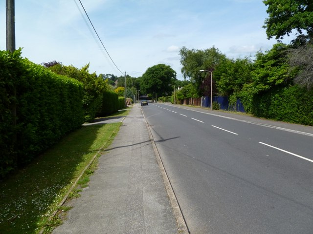
Image: © Mike Faherty Taken: 14 Jun 2011
On the site of the Roman road from Hamworthy to Badbury; The road also forms the boundary between East Dorset (left), and Poole (right).
Images are licensed for reuse under creativecommons.org/licenses/by-sa/2.0
Image Location
Latitude
50.756396
Longitude
-2.011856