The western approach to Brierfield
Introduction
The photograph on this page of The western approach to Brierfield by Bill Boaden as part of the Geograph project.
The Geograph project started in 2005 with the aim of publishing, organising and preserving representative images for every square kilometre of Great Britain, Ireland and the Isle of Man.

There are currently over 7.5m images from over 14,400 individuals and you can help contribute to the project by visiting https://www.geograph.org.uk
The western approach to Brierfield
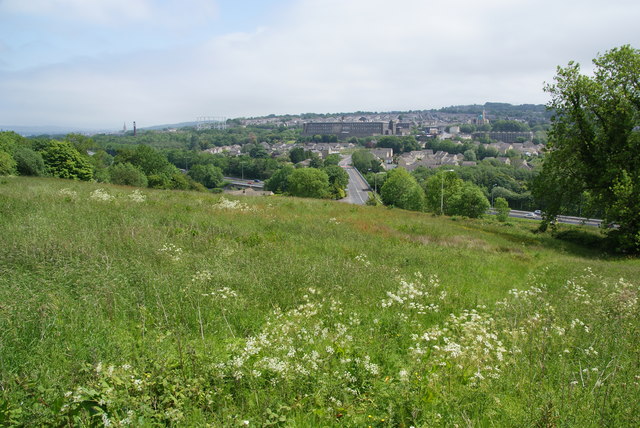
Image: © Bill Boaden Taken: 4 Jun 2011
Taken from Cuckstool Lane. The road, the B6248 crosses the M65, visible below, before entering the town. The prominent landmarks are a mill and a mosque.
Images are licensed for reuse under creativecommons.org/licenses/by-sa/2.0
Image Location
Latitude
53.824248
Longitude
-2.245758