Railway bridge, central Porth
Introduction
The photograph on this page of Railway bridge, central Porth by Jaggery as part of the Geograph project.
The Geograph project started in 2005 with the aim of publishing, organising and preserving representative images for every square kilometre of Great Britain, Ireland and the Isle of Man.

There are currently over 7.5m images from over 14,400 individuals and you can help contribute to the project by visiting https://www.geograph.org.uk
Railway bridge, central Porth
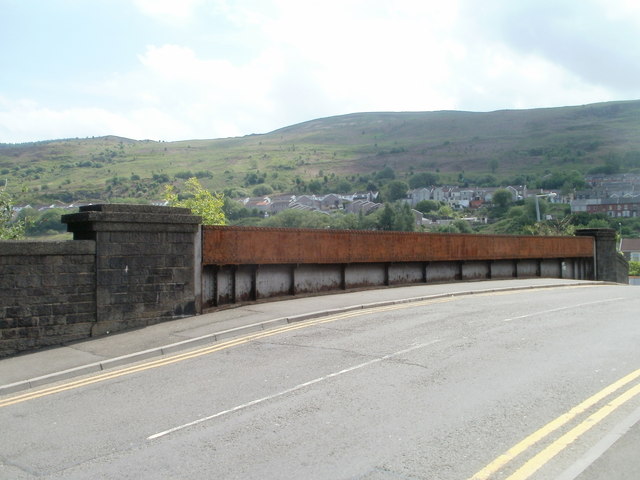
Image: © Jaggery Taken: 6 May 2011
The bridge is part of a 70-metre long unnamed road connecting North Road and Llwyncelyn Road behind the camera with Pontypridd Road ahead. Under the bridge is the two-track Rhondda Line, about 300 metres SE of Porth railway station.
Images are licensed for reuse under creativecommons.org/licenses/by-sa/2.0
Image Location
Latitude
51.61033
Longitude
-3.403654