Old Bank at Marshside
Introduction
The photograph on this page of Old Bank at Marshside by K A as part of the Geograph project.
The Geograph project started in 2005 with the aim of publishing, organising and preserving representative images for every square kilometre of Great Britain, Ireland and the Isle of Man.

There are currently over 7.5m images from over 14,400 individuals and you can help contribute to the project by visiting https://www.geograph.org.uk
Old Bank at Marshside
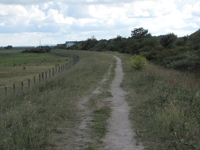
Image: © K A Taken: 11 Jun 2011
This was the sea defence bank until the construction of the Marine Drive some years ago. The land reclaimed, on the left, is now a bird reserve managed by the R.S.P.B. The public footpath along the top of the bank is now part of the Sefton Coastal Footpath
Images are licensed for reuse under creativecommons.org/licenses/by-sa/2.0
Image Location
Latitude
53.675349
Longitude
-2.966818