Otter valley northeast of Upottery
Introduction
The photograph on this page of Otter valley northeast of Upottery by Derek Harper as part of the Geograph project.
The Geograph project started in 2005 with the aim of publishing, organising and preserving representative images for every square kilometre of Great Britain, Ireland and the Isle of Man.

There are currently over 7.5m images from over 14,400 individuals and you can help contribute to the project by visiting https://www.geograph.org.uk
Otter valley northeast of Upottery
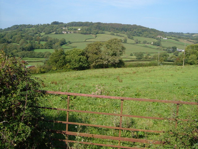
Image: © Derek Harper Taken: 21 Sep 2006
Looking across the valley from the lane between Kitts Farm and Downelm Farm. Charleshayes Farm is on the extreme right, with Charleshayes Cottage to the left above it behind trees. The other farms, out of square, are Higher Phillishayes and, to the right, Tiphayes, with woods on Beacon Hill behind them.
Images are licensed for reuse under creativecommons.org/licenses/by-sa/2.0
Image Location


Leaflet Map data © OpenStreetMap
Latitude
50.872393
Longitude
-3.122697