Going up in smoke
Introduction
The photograph on this page of Going up in smoke by Robin Stott as part of the Geograph project.
The Geograph project started in 2005 with the aim of publishing, organising and preserving representative images for every square kilometre of Great Britain, Ireland and the Isle of Man.

There are currently over 7.5m images from over 14,400 individuals and you can help contribute to the project by visiting https://www.geograph.org.uk
Going up in smoke
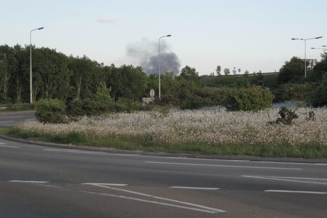
Image: © Robin Stott Taken: 31 May 2011
As I was marvelling at the ox-eye daisies on this roundabout at M27 junction 5, a cloud of black smoke billowed up into the evening sky. Photographed at 19:42 BST. The Southern Daily Echo later reported a huge blaze at Hollygrove Farm, Upper Northam Drive, near Kanes Hill. The farm is the base for a number of businesses including a popular farm shop. http://www.geograph.org.uk/photo/1403033
Images are licensed for reuse under creativecommons.org/licenses/by-sa/2.0
Image Location
Latitude
50.910896
Longitude
-1.321482