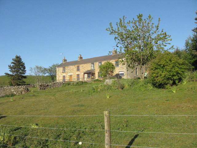
Commerce Hall, now known as Jeffries House
Introduction
The photograph on this page of Commerce Hall, now known as Jeffries House by Elfrieda Waren as part of the Geograph project.
The Geograph project started in 2005 with the aim of publishing, organising and preserving representative images for every square kilometre of Great Britain, Ireland and the Isle of Man.
There are currently over 7.5m images from over 14,400 individuals and you can help contribute to the project by visiting https://www.geograph.org.uk

Image: © Elfrieda Waren Taken: 1 Jun 2011
Back in the 1800s when Derwent Lead Mines employed hundreds of men and the Boltsburn valley was a busy community of small farms and cottages, Commerce Hall was the shop premises for Thomas Pears and then his son William, grocers and drapers. William and his four spinster daughters kept the shop running into the 1930s and 1940s, long after the lead mining population had moved on. There's more about William Pears and the lead mining community of Ramshaw, Hunstanworth, County Durham here: http://www.hunstanworthhistory.org.uk/places/chapel.php

