Down the field
Introduction
The photograph on this page of Down the field by Michael Dibb as part of the Geograph project.
The Geograph project started in 2005 with the aim of publishing, organising and preserving representative images for every square kilometre of Great Britain, Ireland and the Isle of Man.

There are currently over 7.5m images from over 14,400 individuals and you can help contribute to the project by visiting https://www.geograph.org.uk
Down the field
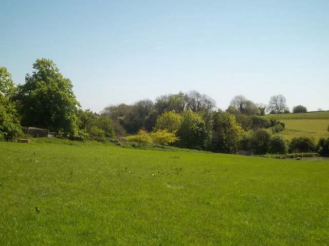
Image: © Michael Dibb Taken: 2 May 2011
From Priory Farm, the footpath passes diagonally up a field towards the minor road. This view is down the field from near the road. Priory Farm is hidden by the trees to the left.
Images are licensed for reuse under creativecommons.org/licenses/by-sa/2.0
Image Location


Leaflet Map data © OpenStreetMap
Latitude
51.950209
Longitude
-1.513693