Cottage, Port Isaac
Introduction
The photograph on this page of Cottage, Port Isaac by Derek Harper as part of the Geograph project.
The Geograph project started in 2005 with the aim of publishing, organising and preserving representative images for every square kilometre of Great Britain, Ireland and the Isle of Man.

There are currently over 7.5m images from over 14,400 individuals and you can help contribute to the project by visiting https://www.geograph.org.uk
Cottage, Port Isaac
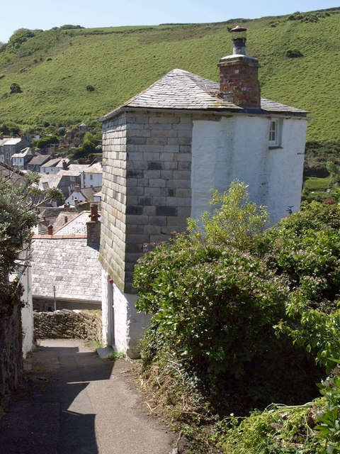
Image: © Derek Harper Taken: 28 Apr 2011
Close to the house shown in Image; this is on Margaret's Lane as it plunges down to meet Rose Hill.
Images are licensed for reuse under creativecommons.org/licenses/by-sa/2.0
Image Location
Latitude
50.592569
Longitude
-4.831302