Bench mark next to Railway View Road
Introduction
The photograph on this page of Bench mark next to Railway View Road by John S Turner as part of the Geograph project.
The Geograph project started in 2005 with the aim of publishing, organising and preserving representative images for every square kilometre of Great Britain, Ireland and the Isle of Man.

There are currently over 7.5m images from over 14,400 individuals and you can help contribute to the project by visiting https://www.geograph.org.uk
Bench mark next to Railway View Road
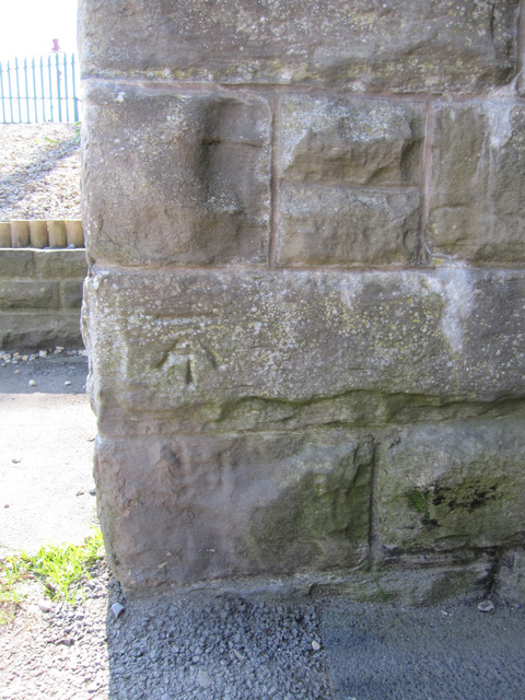
Image: © John S Turner Taken: 28 Apr 2011
This bench mark is on a low bridge that carries the railway into Clitheroe station. Railway View Road is on the left and it runs parallel to the railway. The mark was first recorded on the 1964-5 O.S. map levelled at 250.9 feet. See also Image
Images are licensed for reuse under creativecommons.org/licenses/by-sa/2.0
Image Location
Latitude
53.874005
Longitude
-2.394037