Salter Road, Rotherhithe
Introduction
The photograph on this page of Salter Road, Rotherhithe by Malc McDonald as part of the Geograph project.
The Geograph project started in 2005 with the aim of publishing, organising and preserving representative images for every square kilometre of Great Britain, Ireland and the Isle of Man.

There are currently over 7.5m images from over 14,400 individuals and you can help contribute to the project by visiting https://www.geograph.org.uk
Salter Road, Rotherhithe
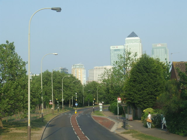
Image: © Malc McDonald Taken: 30 Apr 2011
Salter Road was built in the 1980s, to improve access to the Rotherhithe peninsula. At the time, the peninsula was undergoing regeneration. Formerly the site of Surrey Docks, new housing was being built. In the background are the towers of Canary Wharf.
Images are licensed for reuse under creativecommons.org/licenses/by-sa/2.0
Image Location
Latitude
51.505713
Longitude
-0.041104