SW boundary of Pontllanfraith
Introduction
The photograph on this page of SW boundary of Pontllanfraith by Jaggery as part of the Geograph project.
The Geograph project started in 2005 with the aim of publishing, organising and preserving representative images for every square kilometre of Great Britain, Ireland and the Isle of Man.

There are currently over 7.5m images from over 14,400 individuals and you can help contribute to the project by visiting https://www.geograph.org.uk
SW boundary of Pontllanfraith
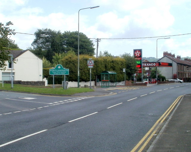
Image: © Jaggery Taken: 24 May 2011
The boundary sign is at the western end of Bryn Road, on the corner of Crown Lane, opposite the Crown pub. http://www.geograph.org.uk/photo/2425952 Pontllanfraith is a large village in Caerphilly County Borough, adjacent to Blackwood. In the distance is Penybryn Terrace. http://www.geograph.org.uk/photo/2425923
Images are licensed for reuse under creativecommons.org/licenses/by-sa/2.0
Image Location
Latitude
51.6485
Longitude
-3.205367