Houses on Hartop Road, St Marychurch
Introduction
The photograph on this page of Houses on Hartop Road, St Marychurch by Derek Harper as part of the Geograph project.
The Geograph project started in 2005 with the aim of publishing, organising and preserving representative images for every square kilometre of Great Britain, Ireland and the Isle of Man.

There are currently over 7.5m images from over 14,400 individuals and you can help contribute to the project by visiting https://www.geograph.org.uk
Houses on Hartop Road, St Marychurch
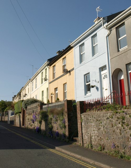
Image: © Derek Harper Taken: 19 May 2011
Part of a terrace of 19 houses set up above the road. Blue campanula brightens the wall. This one-way street was a busy main road until a new section of the A379 was built parallel to it in 1989.
Images are licensed for reuse under creativecommons.org/licenses/by-sa/2.0
Image Location
Latitude
50.487307
Longitude
-3.526013