The Quaggy River aka The Chin Brook, Chinbrook Meadows (9)
Introduction
The photograph on this page of The Quaggy River aka The Chin Brook, Chinbrook Meadows (9) by Mike Quinn as part of the Geograph project.
The Geograph project started in 2005 with the aim of publishing, organising and preserving representative images for every square kilometre of Great Britain, Ireland and the Isle of Man.

There are currently over 7.5m images from over 14,400 individuals and you can help contribute to the project by visiting https://www.geograph.org.uk
The Quaggy River aka The Chin Brook, Chinbrook Meadows (9)
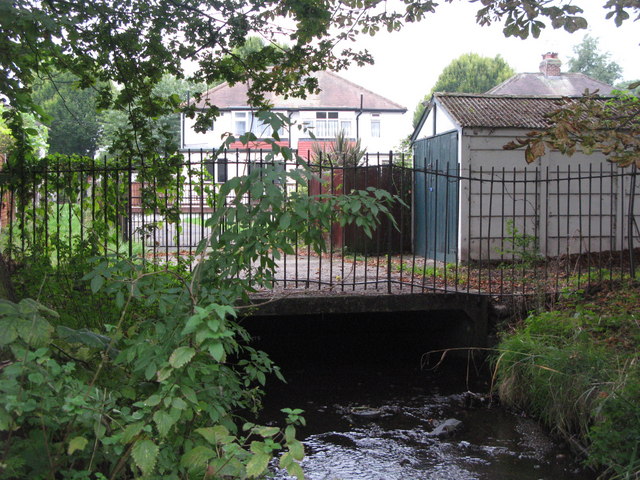
Image: © Mike Quinn Taken: 28 Sep 2010
The river emerges here from a culvert that starts at the northern end of Sundridge Park Golf Course - see Image
Images are licensed for reuse under creativecommons.org/licenses/by-sa/2.0
Image Location
Latitude
51.42622
Longitude
0.02749