Western section of Parke's Lane, Tranch, Pontypool
Introduction
The photograph on this page of Western section of Parke's Lane, Tranch, Pontypool by Jaggery as part of the Geograph project.
The Geograph project started in 2005 with the aim of publishing, organising and preserving representative images for every square kilometre of Great Britain, Ireland and the Isle of Man.

There are currently over 7.5m images from over 14,400 individuals and you can help contribute to the project by visiting https://www.geograph.org.uk
Western section of Parke's Lane, Tranch, Pontypool
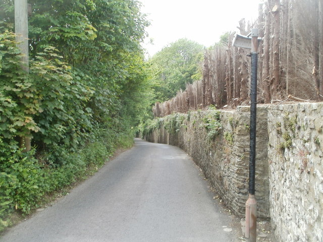
Image: © Jaggery Taken: 16 May 2011
The course of Parke's Lane bends through 90 degrees at Regency House. http://www.geograph.org.uk/photo/2417135 This view is to the WSW, along the perimeter wall of Regency House, looking in the direction of Crumlin Road.
Images are licensed for reuse under creativecommons.org/licenses/by-sa/2.0
Image Location
Latitude
51.698491
Longitude
-3.05621