Livermere Thicks
Introduction
The photograph on this page of Livermere Thicks by Bob Jones as part of the Geograph project.
The Geograph project started in 2005 with the aim of publishing, organising and preserving representative images for every square kilometre of Great Britain, Ireland and the Isle of Man.

There are currently over 7.5m images from over 14,400 individuals and you can help contribute to the project by visiting https://www.geograph.org.uk
Livermere Thicks
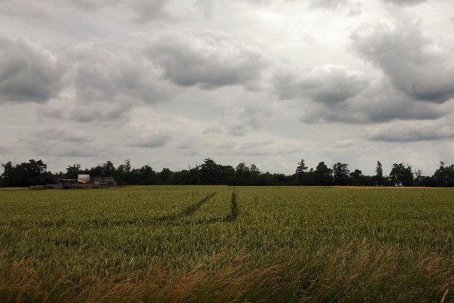
Image: © Bob Jones Taken: 5 Jul 2005
Taken from the minor road that passes through the extreme south east corner of the square, this view also takes in a barley field and deserted farm buildings.
Images are licensed for reuse under creativecommons.org/licenses/by-sa/2.0
Image Location


Leaflet Map data © OpenStreetMap
Latitude
52.286662
Longitude
0.768108