Surrey Canal Road
Introduction
The photograph on this page of Surrey Canal Road by Marathon as part of the Geograph project.
The Geograph project started in 2005 with the aim of publishing, organising and preserving representative images for every square kilometre of Great Britain, Ireland and the Isle of Man.

There are currently over 7.5m images from over 14,400 individuals and you can help contribute to the project by visiting https://www.geograph.org.uk
Surrey Canal Road
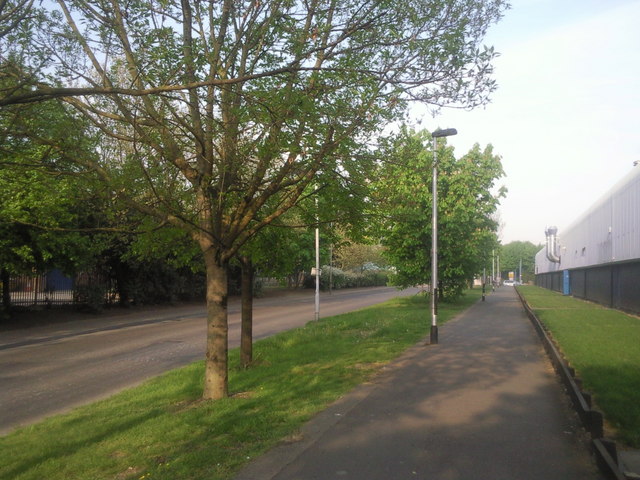
Image: © Marathon Taken: 19 Apr 2011
Work started on the Surrey Canal in 1801, which it was intended should run from Rotherhithe to Kingston, but by 1807 it had only reached New Cross and then only as access to the Croydon Canal. It eventually reached Camberwell in 1811 and Peckham in 1826. Its main traffic was to take timber from the Surrey Docks inland to saw mills, built alongside the canal. The original section ran here along what is now Surrey Canal Road. The Surrey Canal was eventually filled in during 1972 and here at Surrey Canal Road the canal bed was used for the road, whilst the north bank and towpath provide the walkway seen here.
Images are licensed for reuse under creativecommons.org/licenses/by-sa/2.0
Image Location
Latitude
51.484386
Longitude
-0.045619