Sherwood Rise: two churches
Introduction
The photograph on this page of Sherwood Rise: two churches by John Sutton as part of the Geograph project.
The Geograph project started in 2005 with the aim of publishing, organising and preserving representative images for every square kilometre of Great Britain, Ireland and the Isle of Man.

There are currently over 7.5m images from over 14,400 individuals and you can help contribute to the project by visiting https://www.geograph.org.uk
Sherwood Rise: two churches
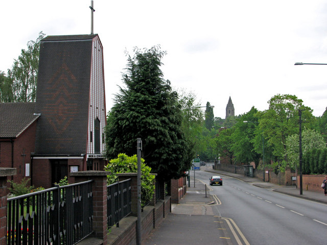
Image: © John Sutton Taken: 27 Apr 2011
The Polish church is on the left and the Victorian spire of St Andrew's, on Mansfield Road, is on the horizon.
Images are licensed for reuse under creativecommons.org/licenses/by-sa/2.0
Image Location
Latitude
52.968946
Longitude
-1.156746