Former Herbert Terrace, Pontypool
Introduction
The photograph on this page of Former Herbert Terrace, Pontypool by Jaggery as part of the Geograph project.
The Geograph project started in 2005 with the aim of publishing, organising and preserving representative images for every square kilometre of Great Britain, Ireland and the Isle of Man.

There are currently over 7.5m images from over 14,400 individuals and you can help contribute to the project by visiting https://www.geograph.org.uk
Former Herbert Terrace, Pontypool
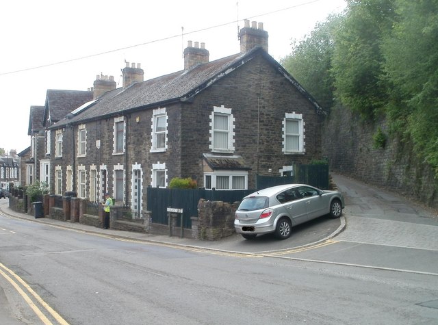
Image: © Jaggery Taken: 4 May 2011
A stone inscription on this row of houses on Osborne Road shows Herbert Terrace 1884, but the houses are now numbered in the Osborne Road sequence and the name sign near the car shows Osborne Road.
Images are licensed for reuse under creativecommons.org/licenses/by-sa/2.0
Image Location
Latitude
51.706673
Longitude
-3.04627