Old Hall Farm
Introduction
The photograph on this page of Old Hall Farm by Peter Turner as part of the Geograph project.
The Geograph project started in 2005 with the aim of publishing, organising and preserving representative images for every square kilometre of Great Britain, Ireland and the Isle of Man.

There are currently over 7.5m images from over 14,400 individuals and you can help contribute to the project by visiting https://www.geograph.org.uk
Old Hall Farm
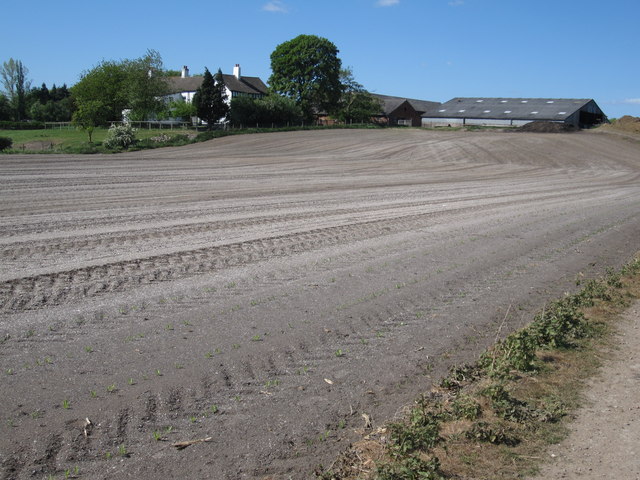
Image: © Peter Turner Taken: 2 May 2011
A field finely harrowed and rolled for the sown crop just peeking though in rows of spear shaped leafs. Could be maize/corn? A large amount of lime seems to have been added as a top dressing. The farm house at top left seems to be a much extended traditional black and white Cheshire house.
Images are licensed for reuse under creativecommons.org/licenses/by-sa/2.0
Image Location
Latitude
53.332631
Longitude
-2.168591