Penniwells Farm
Introduction
The photograph on this page of Penniwells Farm by Martin Addison as part of the Geograph project.
The Geograph project started in 2005 with the aim of publishing, organising and preserving representative images for every square kilometre of Great Britain, Ireland and the Isle of Man.

There are currently over 7.5m images from over 14,400 individuals and you can help contribute to the project by visiting https://www.geograph.org.uk
Penniwells Farm
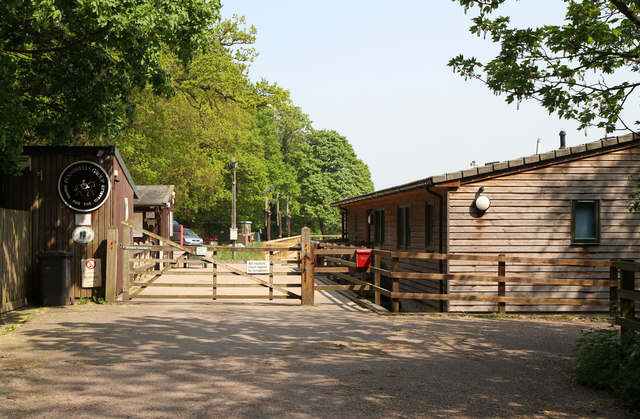
Image: © Martin Addison Taken: 21 Apr 2011
Part of Penniwells Farm, this section is a riding school for disabled people.
Images are licensed for reuse under creativecommons.org/licenses/by-sa/2.0
Image Location
Latitude
51.639829
Longitude
-0.289138