Oaks and Gas Vent
Introduction
The photograph on this page of Oaks and Gas Vent by Martin Addison as part of the Geograph project.
The Geograph project started in 2005 with the aim of publishing, organising and preserving representative images for every square kilometre of Great Britain, Ireland and the Isle of Man.

There are currently over 7.5m images from over 14,400 individuals and you can help contribute to the project by visiting https://www.geograph.org.uk
Oaks and Gas Vent
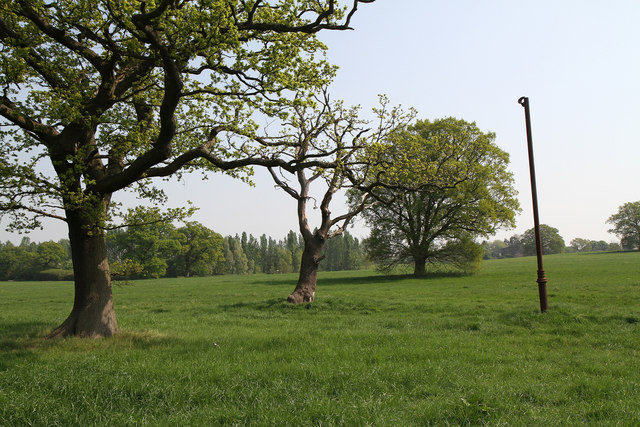
Image: © Martin Addison Taken: 21 Apr 2011
A line of Oak trees, possibly indicating the line of a long lost field boundary, march up the hill. The brown pipe to the right of the line is a methane vent from underground sewers.
Images are licensed for reuse under creativecommons.org/licenses/by-sa/2.0
Image Location


Leaflet Map data © OpenStreetMap
Latitude
51.650478
Longitude
-0.296095