Whalley Lane, Denholme
Introduction
The photograph on this page of Whalley Lane, Denholme by Humphrey Bolton as part of the Geograph project.
The Geograph project started in 2005 with the aim of publishing, organising and preserving representative images for every square kilometre of Great Britain, Ireland and the Isle of Man.

There are currently over 7.5m images from over 14,400 individuals and you can help contribute to the project by visiting https://www.geograph.org.uk
Whalley Lane, Denholme
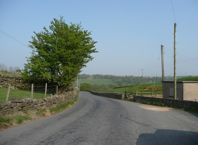
Image: © Humphrey Bolton Taken: 21 Apr 2011
The building on the right is a pumping station ('Ppg Sta' on the large-scale OS map).
Images are licensed for reuse under creativecommons.org/licenses/by-sa/2.0
Image Location


Leaflet Map data © OpenStreetMap
Latitude
53.809447
Longitude
-1.898217