Church tower, Black Torrington
Introduction
The photograph on this page of Church tower, Black Torrington by Rose and Trev Clough as part of the Geograph project.
The Geograph project started in 2005 with the aim of publishing, organising and preserving representative images for every square kilometre of Great Britain, Ireland and the Isle of Man.

There are currently over 7.5m images from over 14,400 individuals and you can help contribute to the project by visiting https://www.geograph.org.uk
Church tower, Black Torrington
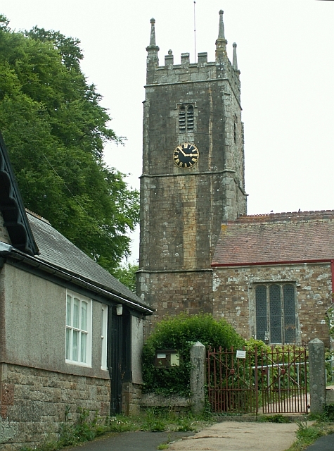
Image: © Rose and Trev Clough Taken: 16 May 2007
The parish church of St. Mary. There has been a church here since Norman times, though most of the present structure dates from the 14th and 15th centuries (more information on church website http://black-torrington-benefice.org.uk/St%20Mary's%20History.htm ).
Images are licensed for reuse under creativecommons.org/licenses/by-sa/2.0
Image Location
Latitude
50.83042
Longitude
-4.181458