Sheep above the gill
Introduction
The photograph on this page of Sheep above the gill by Bill Boaden as part of the Geograph project.
The Geograph project started in 2005 with the aim of publishing, organising and preserving representative images for every square kilometre of Great Britain, Ireland and the Isle of Man.

There are currently over 7.5m images from over 14,400 individuals and you can help contribute to the project by visiting https://www.geograph.org.uk
Sheep above the gill
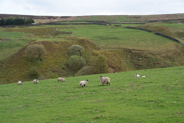
Image: © Bill Boaden Taken: 16 Apr 2011
The gill here is Water Gate Beck. It makes a significant valley on its route via Middle Tongue Dyke to the River Nidd just below Pateley Bridge. On the far side are scars from quarry workings.
Images are licensed for reuse under creativecommons.org/licenses/by-sa/2.0
Image Location
Latitude
54.070838
Longitude
-1.782972