Descending Shatcombe Lane
Introduction
The photograph on this page of Descending Shatcombe Lane by Sarah Smith as part of the Geograph project.
The Geograph project started in 2005 with the aim of publishing, organising and preserving representative images for every square kilometre of Great Britain, Ireland and the Isle of Man.

There are currently over 7.5m images from over 14,400 individuals and you can help contribute to the project by visiting https://www.geograph.org.uk
Descending Shatcombe Lane
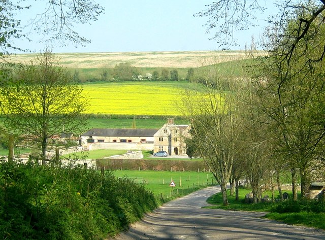
Image: © Sarah Smith Taken: 17 Apr 2011
Shatcombe Lane descends the hill from steep pastures to Wynford Eagle. Manor Farm (the manor house) is visible in the next gridsquare.
Images are licensed for reuse under creativecommons.org/licenses/by-sa/2.0
Image Location
Latitude
50.762327
Longitude
-2.597714