Westgate, Lincoln
Introduction
The photograph on this page of Westgate, Lincoln by Michael Westley as part of the Geograph project.
The Geograph project started in 2005 with the aim of publishing, organising and preserving representative images for every square kilometre of Great Britain, Ireland and the Isle of Man.

There are currently over 7.5m images from over 14,400 individuals and you can help contribute to the project by visiting https://www.geograph.org.uk
Westgate, Lincoln
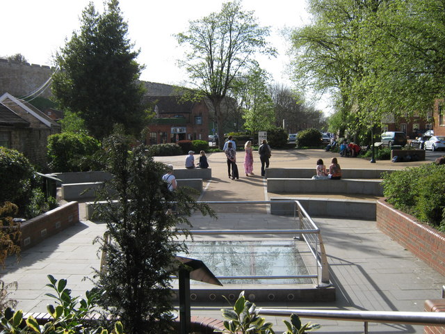
Image: © Michael Westley Taken: 10 Apr 2011
Site of Roman well (glass/rails ahead). Also once site of church til early 70s. Junction of Westgate and Bailgate Image]
Images are licensed for reuse under creativecommons.org/licenses/by-sa/2.0
Image Location
Latitude
53.23553
Longitude
-0.538866