Barnoldswick: Westgate
Introduction
The photograph on this page of Barnoldswick: Westgate by Dr Neil Clifton as part of the Geograph project.
The Geograph project started in 2005 with the aim of publishing, organising and preserving representative images for every square kilometre of Great Britain, Ireland and the Isle of Man.

There are currently over 7.5m images from over 14,400 individuals and you can help contribute to the project by visiting https://www.geograph.org.uk
Barnoldswick: Westgate
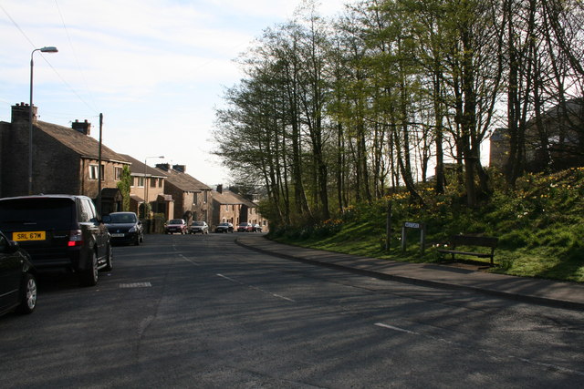
Image: © Dr Neil Clifton Taken: 10 Apr 2011
Looking east, towards the town centre, and showing the substantial tree growth oh the right where old property has been demolished.
Images are licensed for reuse under creativecommons.org/licenses/by-sa/2.0
Image Location
Latitude
53.914405
Longitude
-2.191481