Sydenham Hill, SE23
Introduction
The photograph on this page of Sydenham Hill, SE23 by Malc McDonald as part of the Geograph project.
The Geograph project started in 2005 with the aim of publishing, organising and preserving representative images for every square kilometre of Great Britain, Ireland and the Isle of Man.

There are currently over 7.5m images from over 14,400 individuals and you can help contribute to the project by visiting https://www.geograph.org.uk
Sydenham Hill, SE23
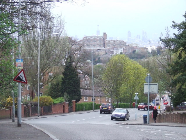
Image: © Malc McDonald Taken: 3 Apr 2011
Sydenham Hill, with a warning sign indicating it is a 12% downhill gradient. 12% is 1-in-8. In the background is one of the blocks of flats at Dawson Heights, while in the distance, it is possible to make out some of the tall buildings in the City of London.
Images are licensed for reuse under creativecommons.org/licenses/by-sa/2.0
Image Location
Latitude
51.438187
Longitude
-0.063275