Buller Street, Swindon
Introduction
The photograph on this page of Buller Street, Swindon by Jaggery as part of the Geograph project.
The Geograph project started in 2005 with the aim of publishing, organising and preserving representative images for every square kilometre of Great Britain, Ireland and the Isle of Man.

There are currently over 7.5m images from over 14,400 individuals and you can help contribute to the project by visiting https://www.geograph.org.uk
Buller Street, Swindon
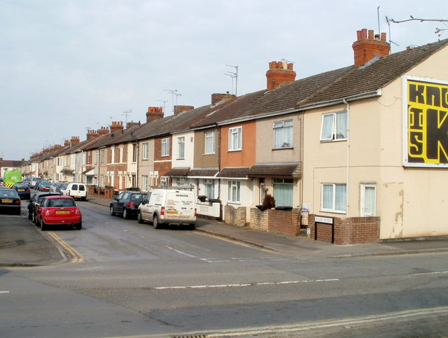
Image: © Jaggery Taken: 12 Mar 2011
Houses on the east side of Buller Street, viewed from Chapel Street looking towards Edinburgh Street. There are no houses on the west side of the street, which is occupied by Gorse Hill recreation ground.
Images are licensed for reuse under creativecommons.org/licenses/by-sa/2.0
Image Location
Latitude
51.571748
Longitude
-1.771976