Benchmark near Sling farmhouse, Sling
Introduction
The photograph on this page of Benchmark near Sling farmhouse, Sling by Meirion as part of the Geograph project.
The Geograph project started in 2005 with the aim of publishing, organising and preserving representative images for every square kilometre of Great Britain, Ireland and the Isle of Man.

There are currently over 7.5m images from over 14,400 individuals and you can help contribute to the project by visiting https://www.geograph.org.uk
Benchmark near Sling farmhouse, Sling
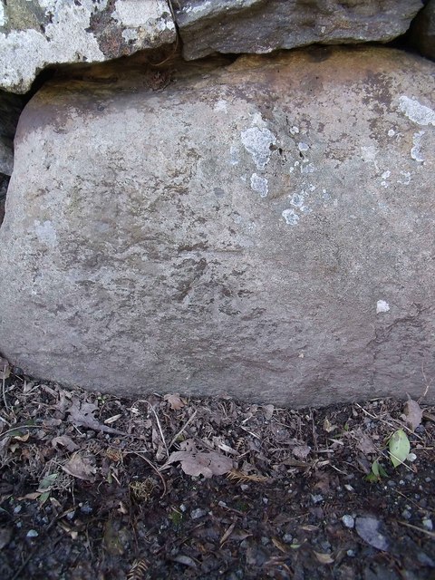
Image: © Meirion Taken: 8 Apr 2011
This benchmark is located on the SW side of the road in the boundary wall of a building referred to as 'Sling farmhouse' on old maps of the area. The mark is not in the current Ordnance Survey database but is shown on an 1970-72 map of the area at a height of 189.09m above the Newlyn datum.
Images are licensed for reuse under creativecommons.org/licenses/by-sa/2.0
Image Location
Latitude
53.180793
Longitude
-4.094158