A50 - cable-stayed footbridge west of Meir Tunnel
Introduction
The photograph on this page of A50 - cable-stayed footbridge west of Meir Tunnel by Peter Whatley as part of the Geograph project.
The Geograph project started in 2005 with the aim of publishing, organising and preserving representative images for every square kilometre of Great Britain, Ireland and the Isle of Man.

There are currently over 7.5m images from over 14,400 individuals and you can help contribute to the project by visiting https://www.geograph.org.uk
A50 - cable-stayed footbridge west of Meir Tunnel
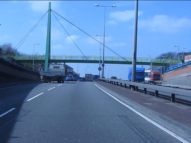
Image: © Peter Whatley Taken: 24 Mar 2011
A unique structure on the widened A50 route through the Potteries towns.
Images are licensed for reuse under creativecommons.org/licenses/by-sa/2.0
Image Location
Latitude
52.978449
Longitude
-2.107188