A50 - Eastern entrance to Meir Tunnel
Introduction
The photograph on this page of A50 - Eastern entrance to Meir Tunnel by Peter Whatley as part of the Geograph project.
The Geograph project started in 2005 with the aim of publishing, organising and preserving representative images for every square kilometre of Great Britain, Ireland and the Isle of Man.

There are currently over 7.5m images from over 14,400 individuals and you can help contribute to the project by visiting https://www.geograph.org.uk
A50 - Eastern entrance to Meir Tunnel
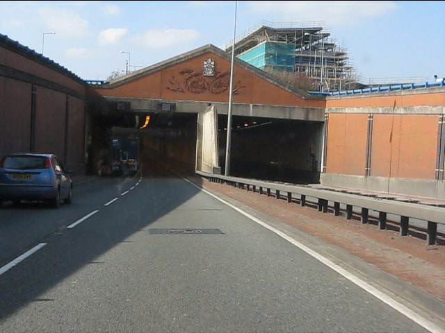
Image: © Peter Whatley Taken: 24 Mar 2011
Although the basic structures here are all formed from concrete, an attempt has been made to soften the new road's impact by erecting a screen wall in brickwork, including a decorative Staffordshire knot above the tunnel portal.
Images are licensed for reuse under creativecommons.org/licenses/by-sa/2.0
Image Location
Latitude
52.976836
Longitude
-2.101227