Cumbrae Crescent South, Hawthornhill
Introduction
The photograph on this page of Cumbrae Crescent South, Hawthornhill by Lairich Rig as part of the Geograph project.
The Geograph project started in 2005 with the aim of publishing, organising and preserving representative images for every square kilometre of Great Britain, Ireland and the Isle of Man.

There are currently over 7.5m images from over 14,400 individuals and you can help contribute to the project by visiting https://www.geograph.org.uk
Cumbrae Crescent South, Hawthornhill
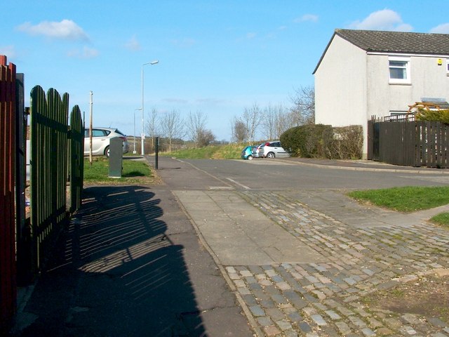
Image: © Lairich Rig Taken: 24 Mar 2011
This is the western end of the street; for the other end, see Image This area is also part of a core path from Hawthornhill to Dalmoak. That route leads uphill from Cardross Road (see Image), then cuts through Image to emerge at the point from which the present photograph was taken. It then continues directly ahead, leaving Hawthornhill by means of the western end of Cumbrae Crescent South, just left of the centre of the photo. At that point, the route leaves the built-up area behind; for the view from that spot, see Image
Images are licensed for reuse under creativecommons.org/licenses/by-sa/2.0
Image Location
Latitude
55.951703
Longitude
-4.600415