Looking over Haredon Cross
Introduction
The photograph on this page of Looking over Haredon Cross by Derek Harper as part of the Geograph project.
The Geograph project started in 2005 with the aim of publishing, organising and preserving representative images for every square kilometre of Great Britain, Ireland and the Isle of Man.

There are currently over 7.5m images from over 14,400 individuals and you can help contribute to the project by visiting https://www.geograph.org.uk
Looking over Haredon Cross
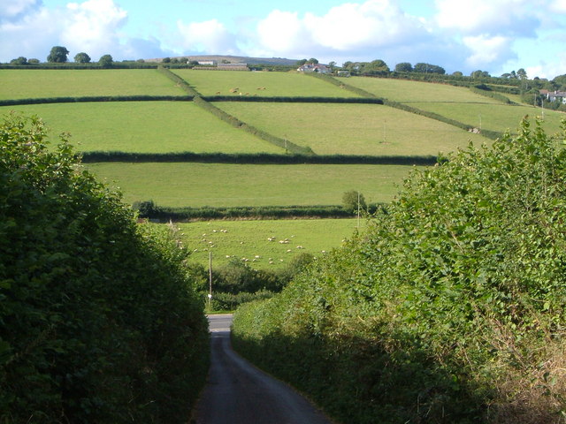
Image: © Derek Harper Taken: 29 Aug 2006
The view down the last 130 metres of the lane from Dunwell Cross to where it meets the A3121 just west of Ugborough. Beyond, a straightforward field layout on the slopes below Toby Cross.
Images are licensed for reuse under creativecommons.org/licenses/by-sa/2.0
Image Location
Latitude
50.381616
Longitude
-3.866105