Waterman, Ugborough
Introduction
The photograph on this page of Waterman, Ugborough by Derek Harper as part of the Geograph project.
The Geograph project started in 2005 with the aim of publishing, organising and preserving representative images for every square kilometre of Great Britain, Ireland and the Isle of Man.

There are currently over 7.5m images from over 14,400 individuals and you can help contribute to the project by visiting https://www.geograph.org.uk
Waterman, Ugborough
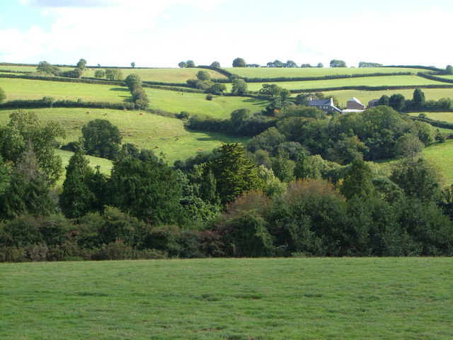
Image: © Derek Harper Taken: 29 Aug 2006
The farm seen from a corner of the churchyard at Ugborough. Hidden in between are the A3121 and a disused quarry.
Images are licensed for reuse under creativecommons.org/licenses/by-sa/2.0
Image Location
Latitude
50.380893
Longitude
-3.860731