Former Methodist church, Chawleigh
Introduction
The photograph on this page of Former Methodist church, Chawleigh by Derek Harper as part of the Geograph project.
The Geograph project started in 2005 with the aim of publishing, organising and preserving representative images for every square kilometre of Great Britain, Ireland and the Isle of Man.

There are currently over 7.5m images from over 14,400 individuals and you can help contribute to the project by visiting https://www.geograph.org.uk
Former Methodist church, Chawleigh
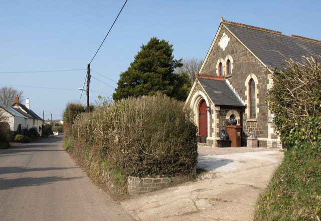
Image: © Derek Harper Taken: 23 Mar 2011
The gable bears a plaque with the date 1822. But I think this building to the southeast of the village centre has been a private house for some time.
Images are licensed for reuse under creativecommons.org/licenses/by-sa/2.0
Image Location
Latitude
50.895699
Longitude
-3.831977