2011 : Henfield, at the bottom of Ram Hill
Introduction
The photograph on this page of 2011 : Henfield, at the bottom of Ram Hill by Maurice Pullin as part of the Geograph project.
The Geograph project started in 2005 with the aim of publishing, organising and preserving representative images for every square kilometre of Great Britain, Ireland and the Isle of Man.

There are currently over 7.5m images from over 14,400 individuals and you can help contribute to the project by visiting https://www.geograph.org.uk
2011 : Henfield, at the bottom of Ram Hill
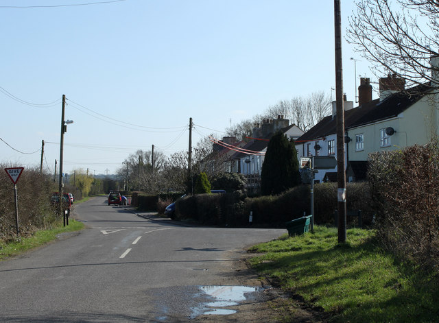
Image: © Maurice Pullin Taken: 20 Mar 2011
Henfield is situated near the centre of the North Bristol Coal Field, this area at one time having been a prolific coal mining community. Coal had been mined in this area since the fourteenth century and most likely even earlier. However it was Sir Samuel Astry, Lord of the Manor of Westerleigh c1680 who started mining on a grander scale and his descendants, or their business partners, continued to be connected with the Coalpit Heath Colliery Company. Within Henfield itself there were 4 mines operational in the early nineteenth century: Copied from: http://en.wikipedia.org/wiki/Henfield,_Gloucestershire where there is much more.
Images are licensed for reuse under creativecommons.org/licenses/by-sa/2.0
Image Location
Latitude
51.511081
Longitude
-2.463223