Loughton Brook
Introduction
The photograph on this page of Loughton Brook by Derek Harper as part of the Geograph project.
The Geograph project started in 2005 with the aim of publishing, organising and preserving representative images for every square kilometre of Great Britain, Ireland and the Isle of Man.

There are currently over 7.5m images from over 14,400 individuals and you can help contribute to the project by visiting https://www.geograph.org.uk
Loughton Brook
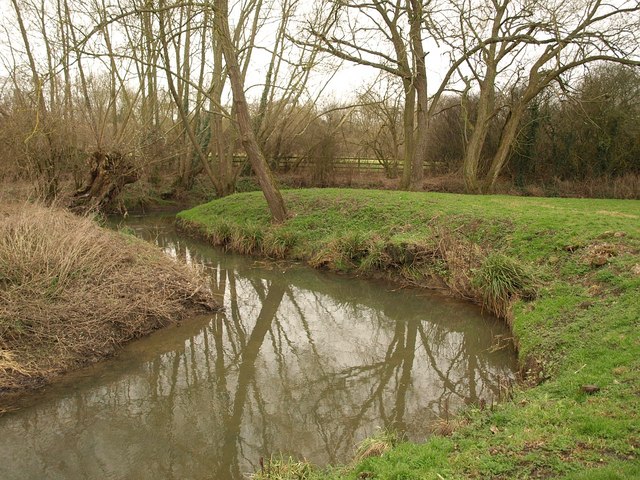
Image: © Derek Harper Taken: 4 Feb 2011
A double meander on the stream as it flows (to the right) through North Loughton Valley Park.
Images are licensed for reuse under creativecommons.org/licenses/by-sa/2.0
Image Location
Latitude
52.052242
Longitude
-0.796829